The Silk Road Explained: What the Routes Were and Where to See Them
The Silk Road is easy to picture wrongly: one road, one commodity, one empire. UNESCO describes something quite different, a 5,000 kilometre corridor within a much larger web of routes, made up of 33 component sites in China, Kazakhstan and Kyrgyzstan. This guide explains the route as a network of cities, passes, posthouses and cave temples, then turns that history into a practical shortlist of places you can visit in Xi'an, Luoyang, Dunhuang and Xinjiang.
The short answer: the Silk Road was a network
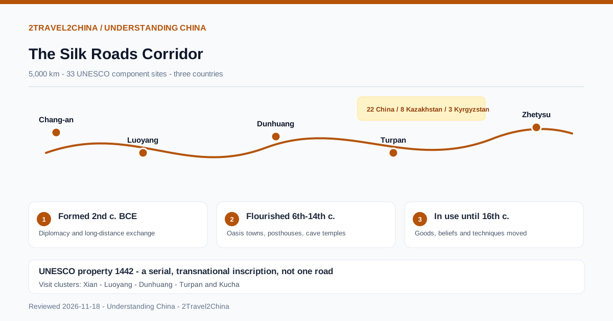
The Silk Road was not a single highway between China and Rome. It was an interconnected web of land and sea routes that moved goods, people, beliefs and techniques across Asia for more than a millennium. The UNESCO inscription called Silk Roads: the Routes Network of Chang'an-Tianshan Corridor covers one 5,000 kilometre section of that web, stretching from Chang'an and Luoyang to the Zhetysu region of Central Asia. It comprises 33 component sites shared by China, Kazakhstan and Kyrgyzstan.
UNESCO dates the formation of the corridor to between the second century BCE and the first century CE, its flourishing to the sixth through fourteenth centuries, and its continued use as a major trade route until the sixteenth century. The name is a nineteenth-century convenience: silk was important, but it was never the only cargo, and many merchants handled only one segment of a journey rather than the whole distance.
When a guidebook says the Silk Road starts in Xi'an, it means the eastern anchor of one UNESCO corridor. Other Silk Roads corridors exist across Central Asia, and the maritime routes were a separate system of ports and monsoon sailing.
Where the corridor actually ran
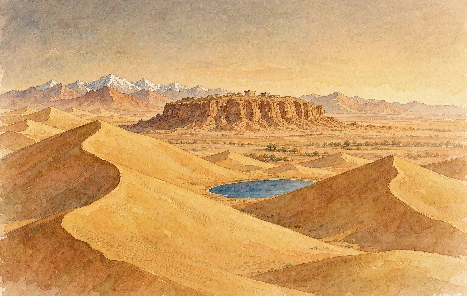
The corridor begins on the Loess Plateau at Chang'an, today's Xi'an, and runs west through the Hexi Corridor across the Qin and Qilian mountains to the Yumen Pass at Dunhuang. From Loulan and Hami it continues along the northern and southern flanks of the Tian Shan, then through mountain passes into the Ili, Chuy and Talas valleys of Zhetysu. This explains why surviving sites form a chain of oasis towns, garrison posts and cave temples, not one continuous road.
| Stopover | Region | What survives | Practical note |
|---|---|---|---|
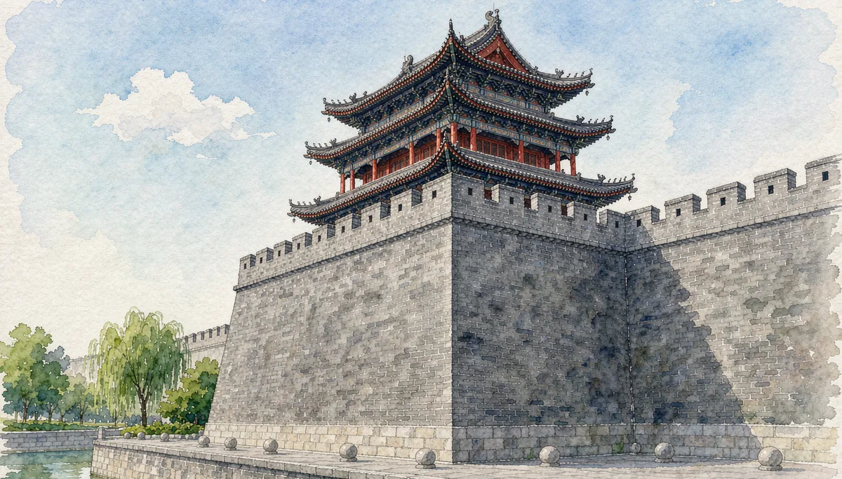
| Chang'an | Xi'an, Shaanxi | Daming Palace, Giant and Small Wild Goose Pagodas, Zhang Qian's tomb | Start in the city; several sites are inside the metro area |
| Luoyang | Henan | Han and Northern Wei city site, Sui-Tang Dingding Gate, Hangu Pass | Open-air ruins reward a site map and a guide |
| Hexi Corridor | Gansu | Suoyang City, Xuanquan Posthouse, Yumen Pass | Remote; distances between sites are large |
| Dunhuang | Gansu | Yumen Pass and beacon towers; Mogao Caves are a separate inscription | Book cave visits well ahead in peak season |
| Turpan and Kucha | Xinjiang | Gaochang, Jiaohe, Kizil and Subashi cave complexes | Summer heat is extreme; spring and autumn suit visits |
| Zhetysu | Kazakhstan and Kyrgyzstan | Talgar, Kayalyk, Burana and Ak-Beshim | Requires separate visas and cross-border planning |
What travelled besides silk
The routes moved high-value goods over enormous distances, usually through a chain of merchants rather than one continuous caravan. UNESCO notes that raw materials, foodstuffs and luxury goods dominated, and that China supplied silk to Central Asia, the subcontinent, West Asia and the Mediterranean. Archaeological sites along the corridor show that trade also required water management, fortified way stations and a formal system of posthouses and beacon towers.
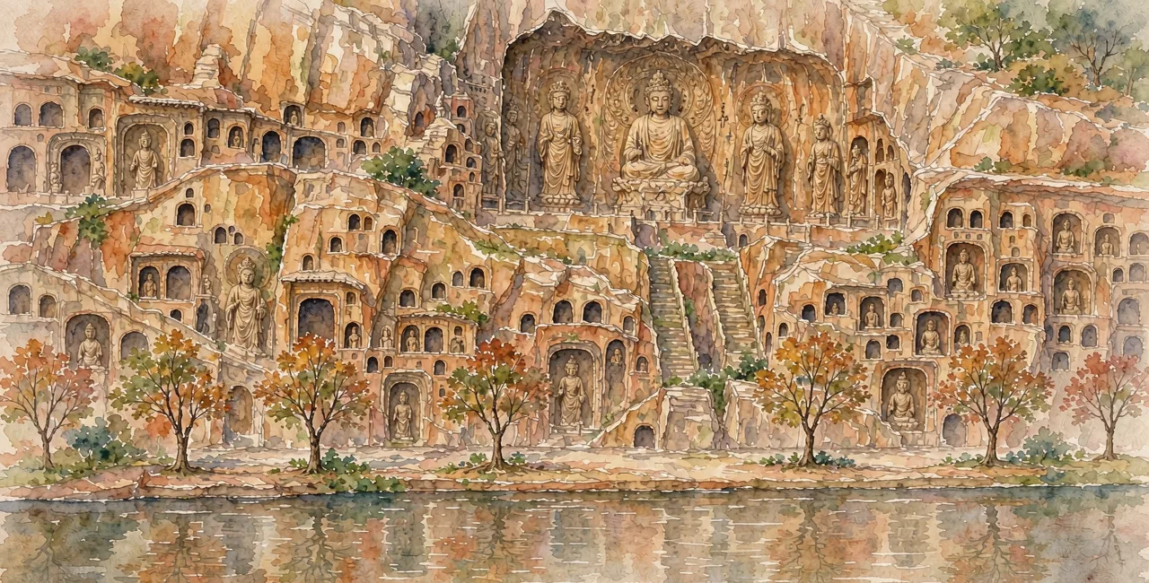
The cultural cargo was as consequential as the commercial one. UNESCO's criterion for the property explicitly links the corridor to the arrival of Buddhism in China, and to the spread of Zoroastrianism, Manichaeism, Nestorian Christianity, which reached China around 500 CE, and early Islam. Cave temples such as Kizil, Bingling and Maijishan are physical evidence of that movement, and their mural programmes are easier to understand once you know the routes existed.
- Goods: silk, horses, glassware, spices, metals and paper moved in stages.
- Beliefs: Buddhism, Zoroastrianism, Manichaeism, Nestorian Christianity and Islam travelled with merchants.
- Techniques: water management, irrigation and approaches to town planning spread along the same corridors.
- Infrastructure: posthouses, beacon towers, forts and caravanserai made long-distance exchange possible.
Zhang Qian and the Han diplomatic mission
One named individual is tied directly to the corridor's origin story. UNESCO says the property is associated with Zhang Qian's diplomatic mission to the Western Regions, a milestone in the history of exchange across Eurasia. The Han court sent Zhang Qian west in the second century BCE to seek alliances, and his reports gave the Chinese state knowledge of the lands beyond the Hexi Corridor. His tomb is one of the thirty-three inscribed components.
This connection matters when you visit Xi'an. The pagodas and palace sites are not just romantic ruins; they are the administrative and ritual infrastructure of a state that was trying to manage contact with distant regions. A visit that pairs the Han capital area with a museum gallery of Silk Road objects makes the chronology much easier to hold than a single monument viewed in isolation.
The 33 components, and why the count helps
UNESCO lists thirty-three component sites for the Chang'an-Tianshan corridor. The official map records twenty-two in China, including Chang'an palace sites, Luoyang city sites, Yumen Pass, Xuanquan Posthouse, the Kizil cave complex, Maijishan and Bingling cave temples, the Giant and Small Wild Goose Pagodas, and the tomb of Zhang Qian. Kazakhstan holds eight and Kyrgyzstan three. The corridor is a serial, transnational inscription, not one fenced attraction.
That structure changes how you plan. There is no single entrance ticket and no single opening hour. Some components are open archaeological landscapes with an interpretation centre nearby; others are active cave sites with timed entry and photography rules. Check each component's current access before building an itinerary, and treat the UNESCO map as a checklist rather than a route map.
Download the UNESCO component map
Use the official property map to see the 33 locations and their coordinates before choosing a region.
Group sites by city
Handle Xi'an, Luoyang, Dunhuang and the Xinjiang oases as separate clusters with separate transport.
Check current access
Confirm opening days and reservation rules for each cave complex or heritage park directly with the site.
Add a museum day
Pair the field sites with a provincial museum so objects and locations reinforce each other.
Visiting the route today: a realistic shortlist
For a first trip, the eastern end is the most efficient. Xi'an covers the Great Wild Goose Pagoda, Small Wild Goose Pagoda, Daming Palace and Zhang Qian's tomb, and high-speed rail links it to Luoyang in roughly an hour and a half. Dunhuang is the next tier: Yumen Pass and the desert beacon towers belong to the corridor, while the nearby Mogao Caves are a separate UNESCO property that deserves their own reservation.
The Xinjiang oases are the strongest reward for travellers with more time. Turpan preserves Gaochang and Jiaohe, and Kucha gives access to the Kizil and Subashi Buddhist complexes. Distances are large and summer temperatures are punishing, so spring and autumn are the sensible windows. Before relying on the 240-hour transit visa-free scheme for a western route, check the current eligible-region list: the scheme covers twenty-four provinces but does not include every region along the corridor.
Transport and entry rules in western China change with security and seasonal conditions. Verify train availability, site opening and any regional entry requirements with official sources shortly before travel, not when you first plan the trip.
How to read a Silk Roads site on the ground
An open archaeological site can look like a field of low walls unless you know what to look for. The corridor's components fall into recognisable types: capitals and palaces, trading settlements, cave temples, passes, beacon towers, posthouses and tombs. Identifying the type tells you what the site did and why it was placed there, which is more useful than admiring a generic pile of stone.
- Palace and capital sites: look for the axis, walled enclosure and ritual halls.
- Posthouses and beacon towers: look for sightlines between stations and water sources.
- Cave temples: note the cliff orientation and the route the worshipper walked inside.
- Passes: read the landscape first; a pass is defined by what it controls.
- Tombs: check whether the occupant had a documented link to the routes.
Common misunderstandings about the Silk Road
The most persistent error is imagining a single traveller carrying silk from Chang'an to Rome. Long-distance exchange usually worked through repeated handoffs, with different merchants, animals and political systems along the way. A second error is treating the Silk Roads as purely Chinese history: the UNESCO property is jointly nominated by three countries, and its western components are as essential as its eastern ones.
- Do not expect one road, one ticket or one opening season across all 33 components.
- Do not confuse the land corridors with the maritime Silk Road ports.
- Do not assume Mogao Caves are part of the Chang'an-Tianshan inscription; they are separately listed.
- Do not plan a Xinjiang segment around transit-visa rules without checking the current eligible list.
Frequently asked questions
Was the Silk Road a single road?
No. It was a network of overland and maritime routes. UNESCO describes one inscribed section, the Chang'an-Tianshan corridor, as a 5,000 kilometre network of 33 component sites across China, Kazakhstan and Kyrgyzstan. Goods usually passed through many merchants rather than travelling end to end with one caravan.
Which Chinese cities are on the Silk Road?
The UNESCO corridor begins at Chang'an, today's Xi'an, and extends through Luoyang, the Gansu Hexi Corridor, Dunhuang, Turpan and Kucha before reaching Central Asia. Xi'an and Luoyang are the easiest to visit; Dunhuang and the Xinjiang oases need more time. Mogao Caves near Dunhuang are a separate World Heritage property.
What was actually traded on the Silk Road?
Silk was important, but UNESCO records trade in raw materials, foodstuffs and luxury goods, with horses, glassware, spices and metals moving in stages. The routes also carried Buddhism, Zoroastrianism, Manichaeism, Nestorian Christianity and early Islam, along with water-management techniques and approaches to town planning.
Who was Zhang Qian and why does he matter?
Zhang Qian was a Han dynasty envoy sent west in the second century BCE. UNESCO directly associates the corridor with his mission to the Western Regions, which expanded Chinese knowledge of Central Asia. His tomb near Xi'an is one of the 33 inscribed component sites of the Chang'an-Tianshan corridor.
How much time do I need to visit Silk Road sites?
Two days in Xi'an covers the main city components, and a day in Luoyang adds the eastern gate sites. Dunhuang merits a full day or more, especially for the cave sites. The Xinjiang oasis route needs a separate week-scale trip because distances between Turpan, Kucha and the desert passes are very large.